


VFR charts 2026 : IGN charts become SIA, but the course remains the same
Categories :
Aeronautical navigation chart
Before every VFR navigation, there is that almost ritual moment : the chart unfolded on a table, the route drawn, the landmarks checked, the areas anticipated and that very particular feeling of preparing a flight before even reaching the flying club. For years, pilots naturally associated these paper charts with the name IGN ICAO. In 2026, this habit is evolving : paper ICAO charts at 1/500 000 are no longer produced and marketed under the IGN name, but now come under the responsibility of the SIA, the Aeronautical Information Service. In concrete terms, the name changes, the organization becomes clearer, but the use remains the same for pilots. The SIA takes over the production, sale and distribution of paper ICAO charts at 1/500 000 for the North East, North West, South East and South West areas, while IGN retains its role in geographical data. For users, the essential point remains unchanged : the landmarks, presentation, content and level of accuracy remain those expected to prepare and conduct a visual flight safely. The charts therefore remain a reference support, both for navigation planning and route tracking, as well as a back up solution on board, in addition to digital tools.
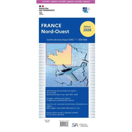
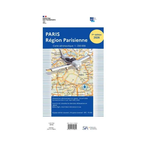
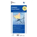
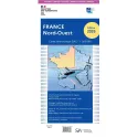
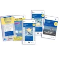
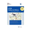
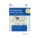
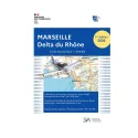
The new SIA ICAO charts 2026 for flying in France
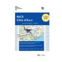
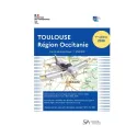
For this 2026 edition, the new SIA ICAO charts cover metropolitan France through four complementary areas : France North East, France North West, France South East and France South West, not forgetting France’s largest cities such as Toulouse, Lyon and Paris. Each chart is published at a scale of 1/500 000 and 1/250 000, a scale particularly suited to VFR en route navigation, as it provides a clear view of airspaces, aerodromes, restricted areas, ground landmarks and, more broadly, the essential information needed to prepare a flight. These charts cover airspace from the surface up to FL115 and are available in paper or laminated versions, depending on pilots’ preferences and how often they use them in the cockpit. Their folded format, around 11 cm x 25 cm, remains practical to carry in a flight bag, while offering a large reading surface once unfolded. For a private pilot, student pilot or instructor, these charts are an essential basis for flying in France with up to date, clear documentation that meets the needs of VFR navigation.
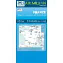
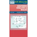
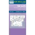
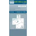
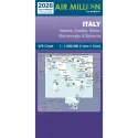
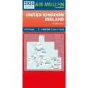
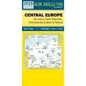
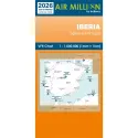
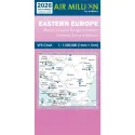
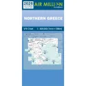
AIR Million : expanding your navigation beyond French borders
But not all flights stop at French borders. There are long navigations, trips abroad, crossings through unfamiliar regions and that desire, shared by many pilots, to gradually expand their playground. This is where AIR Million charts become particularly valuable. Designed for VFR flight preparation on a larger scale, they cover many areas across Europe with an ideal approach for pilots who want to travel, move from one country to another or prepare more ambitious routes. The AIR Million range covers a vast area from Ireland to Eastern Europe and from Central Europe to Greece, representing more than 35 countries across Europe, with charts dedicated to regions such as France, Morocco, Italy and specific areas such as the Alps, Belgium or southern Greece. On BAYO, these charts allow pilots not to limit their flight preparation to France, but to open navigation to a more European and international dimension.
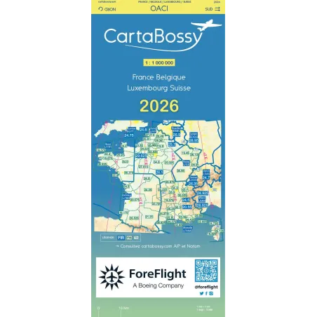
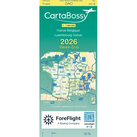
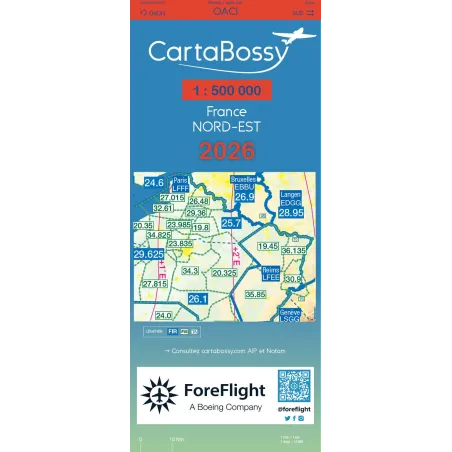
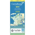
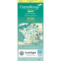
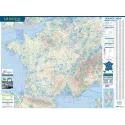
CartaBossy : clear and practical reading for VFR navigation
Finally, for pilots looking for a different, more synthetic, more visual reading experience that is highly appreciated in the VFR world, CartaBossy charts remain a reliable choice. In 2026, the range is also evolving with an important new feature : regional CartaBossy charts are now available at a scale of 1/1 000 000, with four areas covering the whole of France, as well as a brand new chart at 1/500 000 covering North East France, North West France, South East France and South West France. These charts are designed to offer excellent reading comfort, with a clear, streamlined approach focused on the information that is truly useful to pilots during navigation. They include a wide range of essential elements such as radio frequencies, aerodromes, ULM airfields, QFU, runway lengths, circuits, VFR reporting points and useful visual landmarks. CartaBossy charts therefore provide a very interesting alternative to classic ICAO charts, especially for pilots who value readability, quick analysis and in flight comfort.
Updating your VFR charts 2026 : an essential step before taking off again
The arrival of the 2026 VFR charts therefore marks an important transition, but not a break. The former IGN ICAO charts become SIA ICAO charts, pilots keep their familiar references, and the paper offer remains essential for preparing navigations seriously. Between the new SIA charts for flying in France, AIR Million charts for broadening horizons and CartaBossy charts for clear and practical reading, every pilot can choose the support best suited to the way they fly. In 2026, updating your aeronautical charts is not just a formality : it is a key step to set off again with the right information, the right support and the same confidence when plotting your route.
Share this content
These products might interest you


Add a comment