


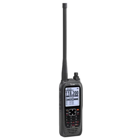
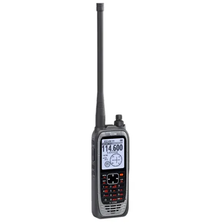
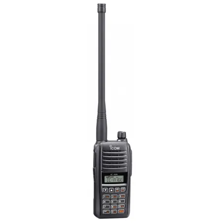
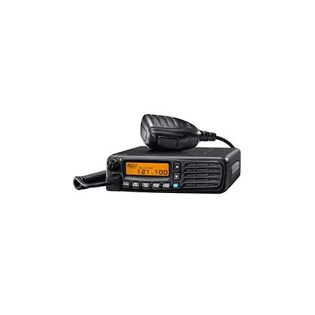


SIA Charts
There are 16 products.

SIA Maps: Precision at the Service of Aviators
The SIA maps (Aeronautical Information Service) are essential references for all aviators flying in France. These maps are specifically designed to facilitate air navigation and ensure flight safety, particularly for civil aviation pilots wishing to fly in French metropolitan airspace. The aeronautical information services, governed by the international standards of the International Civil Aviation Organization (ICAO), ensure the distribution of these maps in compliance with international aviation regulations.
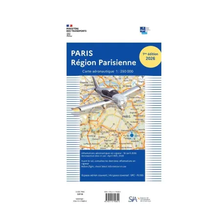
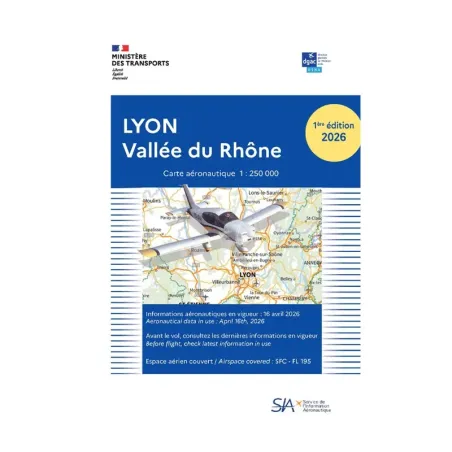
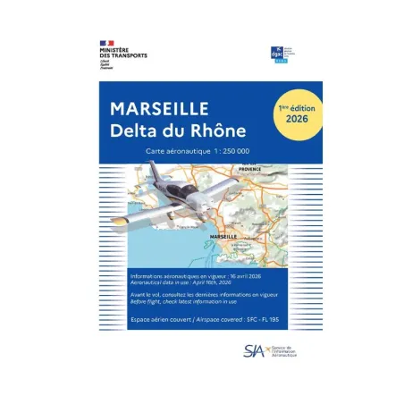
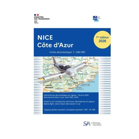
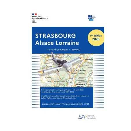
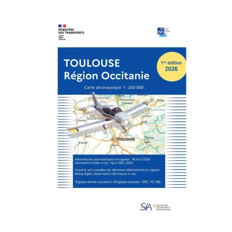
The SIA maps provide crucial information for VFR (Visual Flight Rules) flights, primarily used by private and recreational pilots. They include detailed information on navigation points, flight zones, airways, and the altitudes to be maintained to ensure safe flight conditions. SIA offers a wide range of maps, including specific regional maps, such as those for Paris, Marseille, Toulouse, Nice, Lyon, Strasbourg, and many others. These regional maps allow pilots to focus on specific areas they are flying over, offering more precise and detailed information than general maps.
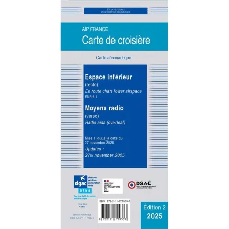
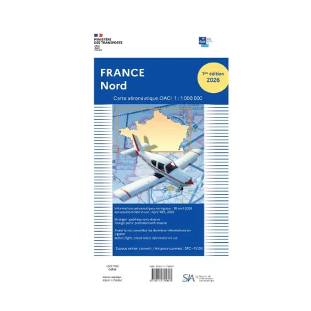
Another valuable resource offered by SIA is the VFR folder, which covers all of France at a scale of 1:1,000,000. This folder is indispensable, especially for long-haul flights or training pilots, as it provides a comprehensive overview of the airspace. In addition to the main maps, it includes essential supplements for navigation, as well as crucial information like the very low altitude defense network (RTBA), which is important, as you can imagine, for low-altitude flights, particularly when coordinating civilian and military flights.
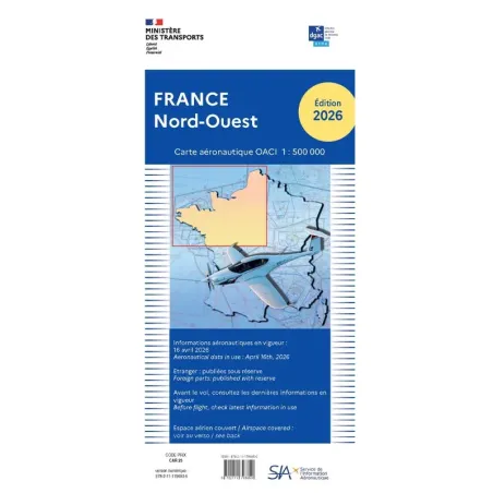
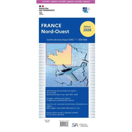
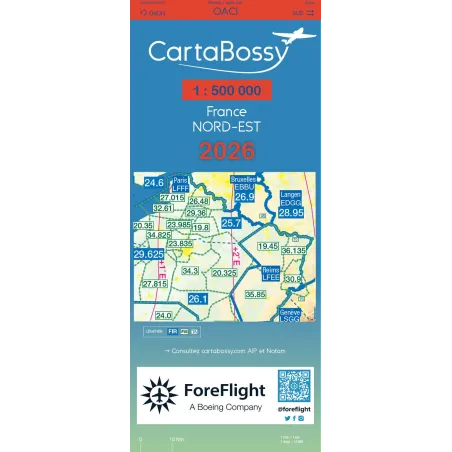
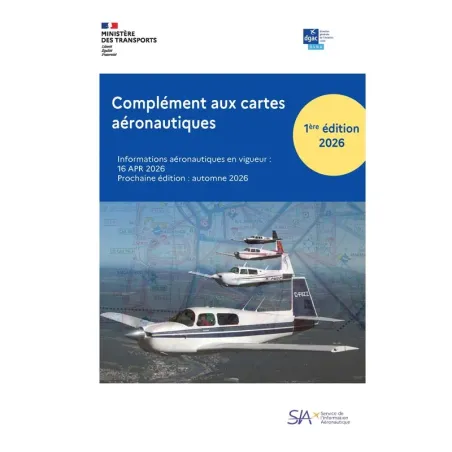
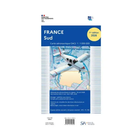
Since 2026, SIA has been responsible for the commercialization of OACI charts. The 1:500,000 OACI charts remain strictly identical in their content, presentation, and use. They retain the same information, the same reference points, and the same level of precision, which are essential for the preparation and conduct of visual flights.
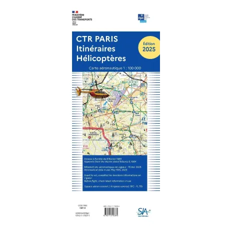
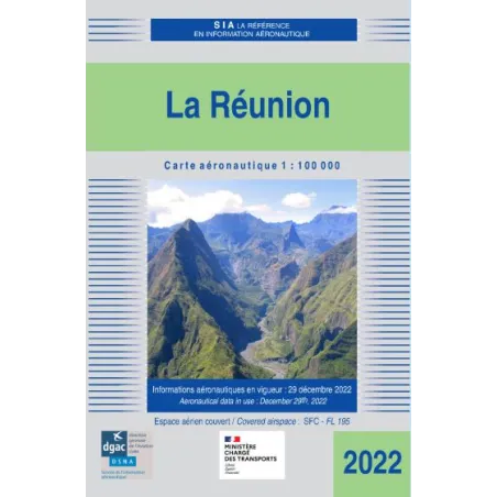
In addition to these classic VFR maps, SIA also updates several specific maps every year, such as helicopter route maps, Overseas maps, or cruise maps at a scale of 1:2,000,000 for larger areas. SIA maps are also available in practical formats, including PVC envelopes to protect the documents from weather and humidity.
Therefore, for all pilots seeking to ensure their safety and navigation in France, SIA maps are an essential tool. They allow for thorough flight planning and ensure seamless navigation with their up-to-date information and accuracy. To explore the full range of available maps, feel free to visit the online store of BAYO.