
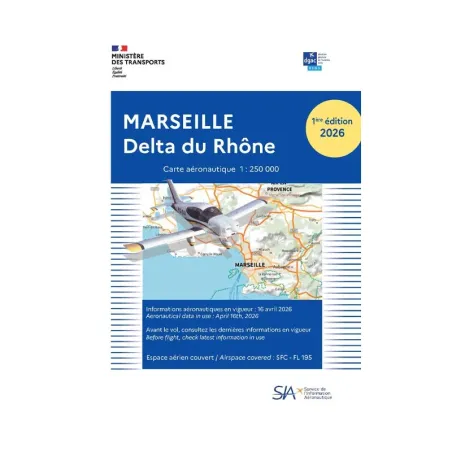
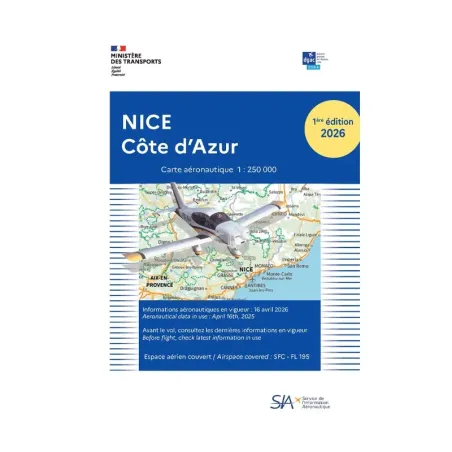
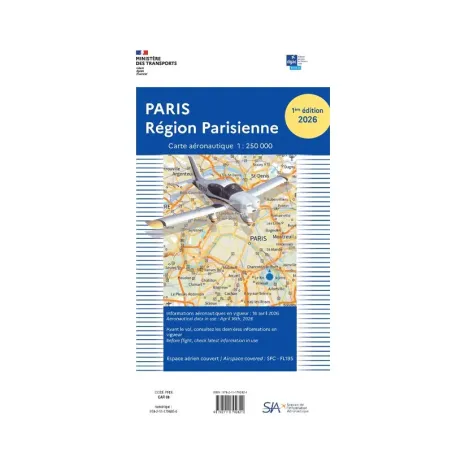
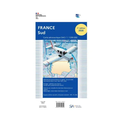


































VFR SIA Chart North of France 1:1 000 000
Price:
€14.74
Tax included
Livraison : 24 - 48 H
Shipping
to store and pick-up point
FREE delivery
from €299.99 purchase (1)
Payment in 4 installments
Via Paypal
(1) In mainland France. If the order exceeds a certain volume or weight, additional shipping fees may apply.
Declination
Expédition
en magasin et point relais
Livraison GRATUITE
dès 299,99€ d'achat (1)
Paiement en x4
Via Paypal
(1) En France métropolitaine. Si la commande dépasse un certain volume ou poids, des frais de livraison supplémentaires peuvent s'appliquer
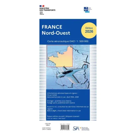
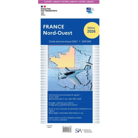
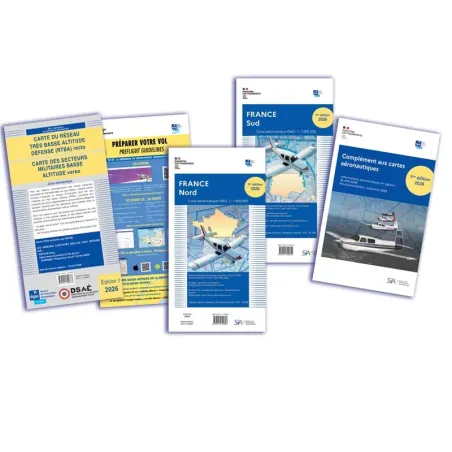
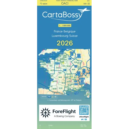
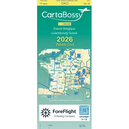
Aero Charts and Atlases - VFR SIA Chart of Northern France at 1:1 000 000 scale - 2026 Edition
Orders placed before
are shipped the same day.
A Key Region for Air Navigation
Northern France is a strategic area for aviation, marked by a high density of traffic. Between major airports such as Paris Charles de Gaulle, Lille-Loulesquin, and Beauvais, military zones, and air corridors leading to Belgium and the United Kingdom, it is essential for pilots to have a thorough understanding of regulated airspace.
The 2026 Northern France VFR Aeronautical Chart is specifically designed to meet the needs of pilots operating in this demanding environment.
Optimized and Readable Cartography
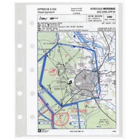
The 1:1,000,000 scale ensures a perfect balance between precision and readability. It provides a clear representation of airport infrastructure, controlled and regulated zones, as well as recommended VFR routes.
Prohibited, dangerous, or restricted areas are clearly identified, along with military airspace and major air routes. The region’s terrain, although less pronounced than in the south of the country, is represented accurately to ensure optimal route planning and avoid natural obstacles.
Airfields accessible to VFR pilots are listed with all essential information, including radio frequencies, available services, and technical characteristics. This approach allows pilots to prepare their flights efficiently and navigate with complete peace of mind.
A 2026 Edition Updated with the Latest Regulations
The 2025 edition includes all recent changes to airspace, in line with AIRAC updates. These adjustments include new control zones, radio frequency changes, as well as updates related to airport infrastructure and air corridors.
Thanks to these updates, pilots have access to a reliable chart that complies with the latest regulations, allowing them to navigate safely without risk of infringement.
An Essential Tool for All VFR Pilots
Whether you are a private pilot, instructor, or aviation professional, this chart is an indispensable aid for planning your flights in northern France. Its ergonomic format and 1:1,000,000 scale make it an ideal companion for quick and effective in-flight reading.
With this 2026 edition, VFR navigation becomes simpler, smoother, and safer, allowing you to operate with confidence in one of the busiest airspaces in the country
Comments (0)
No customer reviews for the moment.
Your review appreciation cannot be sent
Report comment
Are you sure that you want to report this comment?
Report sent
Your report has been submitted and will be considered by a moderator.
Your report cannot be sent
Write your review
Review sent
Your comment has been submitted and will be available once approved by a moderator.
Your review cannot be sent
For any quote request, you can complete the form below by specifying the desired reference(s):
You may also like
Orders placed before
are shipped the same day.
Hours
Minutes
Seconds


