IGN (Institut Géographique National)

IGN (Institut Géographique National)
IGN (Institut Géographique National)
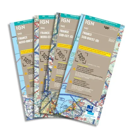
"In the complex world of modern aviation, safety and precision are essential for every flight. This is why pilots and aviation professionals trust the aeronautical charts from the IGN (National Institute of Geographic and Forest Information). Founded in 1940 as the Army Geographic Service, the IGN has a long history of serving French cartography, evolving from military mapping to producing geographic data for a variety of civilian and scientific applications."
Since its modest beginnings securing geographic information during World War II, the IGN has become a global leader in collecting, producing, and distributing accurate mapping data. Initially designed to serve military interests, the IGN quickly expanded its mandate to include civilian missions, such as the detailed mapping of French territory and overseas territories.
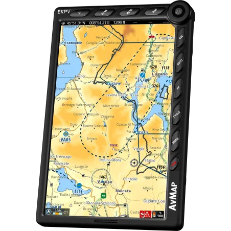
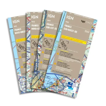
Today, the IGN uses cutting-edge technologies to create aeronautical charts essential for the safety and efficiency of flights. Their charts, renowned for their accuracy and reliability, are used by commercial pilots, airport operators, and aviation enthusiasts around the world. With years of experience and unparalleled technical expertise, the IGN offers a full range of aeronautical charts that meet the specific needs of each phase of flight, from pre-flight planning to in-flight navigation.
The IGN does not just follow existing standards; it exceeds them. Since the 1980s, the IGN has integrated advanced satellite technologies into its toolkit, notably with the SPOT satellites that provide high-resolution imagery. This satellite data is crucial for the constant updating of maps, ensuring continuous accuracy and up-to-date geographic information.
The reasons why pilots and aviation professionals choose IGN charts are clear:
Precision and Reliability: IGN charts are designed to provide maximum accuracy, essential for safe air navigation.
Cutting-Edge Technologies: Thanks to the use of satellite technologies and advanced mapping systems, the IGN guarantees constantly updated and reliable information.
Commitment to Innovation: The IGN continues to invest in research and development to improve its products and meet the evolving needs of modern aviation.
Whether you are a professional pilot, an aviation enthusiast, or an airport operator, the IGN aeronautical charts are your indispensable tool for safely navigating the skies. With its historical legacy and commitment to innovation, the IGN remains at the forefront of aeronautical mapping, ensuring superior mapping solutions for the diverse needs of modern aviation."


