


How to Properly Prepare Your VFR Flight: Complete Checklist for a Safe Flight
Categories :
BAYO
The sky is clear, the sun is shining brightly, with no clouds on the horizon, the airplane is ready, and excitement is starting to build. However, before putting the throttle full forward, a crucial question comes into your mind: are you truly ready to take off?
In aviation, a visual flight (VFR) is not only played out when you are at 5000 feet but well before your takeoff. Every pilot knows that the safety and success of a flight largely depend on the preparation done beforehand.
In this article, we guide you through a complete flight folder, based on the experience of a pilot, so that your VFR flights are precise, safe, and without unpleasant surprises. Whether you are in PPL training or already licensed, this method will be beneficial for gaining peace of mind and avoiding common pitfalls.
Before each flight, do you have all your administrative documents with you and up to date?
Because before starting to gather weather information or check the latest NOTAMs, you first need to ensure that you have all your documentation and that it is complete:
- Pilot license
- Identification card
- Medical certificate
- Logbook
- Aircraft registration certificate, which includes the type of aircraft and its registration
- Airworthiness certificate
- Insurance
- Noise certificate
- Radio license
All this documentation must be with you at all times, especially while in flight, because you are not immune to a police check once on the ground. Also, check the expiration date of these documents.
Why consult NOTAMs and AIP SUPs before a VFR flight?
We used the SDV FR application, which you can find on the SkyDreamSoft website.
In aviation, NOTAMs and AIP SUPs are official real-time publications that inform pilots and operators of potential changes affecting navigation relative to your planned route. The difference between these two publications lies in timing: NOTAMs alert you quickly to temporary, urgent, or unexpected changes in airspace, procedures, and identified hazards. They are short-term, ranging from a few hours to a few weeks. In contrast, AIP SUPs provide long-term, important information that requires charts and detailed explanations. These publications can extend over months or even more than a year. For example, the parking lot of an MRO workshop may be temporarily closed; this would be a NOTAM. Likewise, an issue with a runway light would also be a NOTAM. However, a change in airport approach procedures during construction would be considered an AIP SUP.
Therefore, it is always necessary to consider and check each publication before taking off on your route. You are not immune to a navigation issue that you may not have identified.
Why is weather a crucial element in preparing a VFR flight?
Weather is one of the most decisive factors in the success of a visual flight.
Before each takeoff, it is essential to consult multiple sources of meteorological information to assess current and forecasted conditions along the route, including METAR, TAF, TEMSI, and wind, which influences the aircraft's trajectory.
To do this, we used the website Aviation Web, also known as Aero Web, which provides all meteorological data.
What is a METAR and how to read it before a VFR flight?
For a VFR pilot, reading a METAR allows quickly assessing whether conditions are favorable for visual flight. For example, low visibility or low cloud cover can make a flight dangerous or prohibited.
Learning to decode METAR codes and abbreviations is therefore essential for ensuring safety during preparation.
A METAR is a real-time meteorological observation report issued roughly every hour from airport ground stations, describing the current sky condition. It includes visibility, cloud cover, and other phenomena such as temperature, wind, pressure, and precipitation. For a VFR pilot, this allows a quick assessment of whether conditions are suitable for safe flight.
Let's decode this METAR: LFLC 161330Z AUTO 35007KT 310V070 CAVOK 29/08 Q1019 NOSIG= This means that at Clermont-Ferrand Auvergne Airport, on July 16th, at 13:30 Zulu (15:30 local), the report was generated automatically. The wind is from 350° at 7 knots, varying between 310° and 70°, indicating a north wind with good visibility above 10km, and no significant changes.
What do TAF forecasts tell us to plan a VFR flight?
TAF focuses on the weather forecast for an airfield over a 24-hour period. Unlike its counterpart, the METAR, it anticipates future conditions with the same details: visibility, wind, and clouds. Consulting the TAF is essential for anticipating changes during your flight and adjusting the flight plan accordingly. No more unpleasant surprises in flight.
What is a TEMSI bulletin and how to use it effectively?
Reading a weather forecast bulletin is part of flight preparation, complementing METAR and TAF information. It details weather evolution over a larger area, including disturbances, wind changes, precipitation, and deteriorations. It may include front maps and satellite images for a comprehensive wind overview. For a VFR pilot, TEMSI provides enhanced insight into upcoming conditions along the flight path, whether for long distances or complex zones. TEMSI includes a key indicator for ground visibility outside clouds: V8 (visibility > 8km), V5 (visibility 5–8km), V1.5 (visibility 1.5–5km), and V0 (visibility < 1.5km).
How to analyze wind impact for a safe VFR flight?
Yes, wind is a factor to consider carefully as it directly affects your aircraft: trajectory, ground speed, fuel consumption, takeoff, and landing. Temperature along the route can also influence winds. It is therefore essential to assess wind direction and strength in advance using METAR and TAF to select the safest and most fuel-efficient route. Strong or misaligned wind can complicate control, increasing risk. Understanding how to integrate this data into a flight plan is a key skill for all safety-conscious VFR pilots.
How to plot a VFR flight for precise and safe navigation?
Now that we have concluded with weather preparation, we can move on to the most appreciated part: plotting the flight.
Flight plotting is an essential step in VFR preparation, allowing you to visualize and organize the route before even boarding your Cessna 152 or PA-28. It involves marking the planned route on an aeronautical chart, identifying turning points, areas to avoid (terrain and regulations), and altitudes to determine a safe altitude. Initially, create a 5-nautical-mile corridor to see the route and identify high points. For example, two peaks are identified: one at 1996 feet, the other at 2200 feet at 60°. We set a minimum safe altitude of 2800 feet. If visibility is low due to clouds, this altitude ensures safety.
The essential instrument is the flight protractor, invaluable for plotting. Using the 5-nautical-mile corridor, align the tool from point A to B. Then take your navigation log to note information such as magnetic course, altitude, safe altitude, distance, and time without wind.
A tip for your navigation log: record key communication information such as frequencies in the airspace. This avoids searching during flight, reducing stress. Include ATIS, ground frequency, tower (if applicable), SIV, and AFIS. Note the runway orientation, preferred runways, and traffic pattern height. This keeps vital information handy.
How to calculate fuel estimates for a VFR flight?
Every pilot must manage fuel optimally to avoid running out during the flight. Always include 30 minutes reserve for VFR day flights, 45 minutes at night.
The calculation should consider:
- Average hourly fuel consumption (e.g., Cessna 177 Fly: 40 liters/hour)
- Estimated total flight duration, including taxi and wind effect (e.g., LFLC-LFLV: 32 minutes, 42 liters)
- Meteorological conditions (headwind or tailwind affecting consumption)
- Mandatory reserves: typically 30 minutes for daytime VFR, 45 minutes at night
- Safety reserves: fuel for alternate landing in case the planned field closes
Good fuel planning (fuel estimate) avoids unpleasant surprises and ensures a comfortable safety margin.
How to check aircraft weight and balance?
Weight and balance calculation is essential for ensuring the aircraft remains within structural limits and is fully controllable. Improper load distribution or exceeding max weight can compromise performance and safety.
During this calculation, the pilot checks:
- Aircraft weight curve according to the manufacturer
- Total takeoff weight (aircraft, fuel, passengers, luggage, accessories)
- Center of gravity (CG) relative to manufacturer limits
- Fuel consumption effects on CG
- Safety margins for all flight phases (takeoff, cruise, landing)
A properly balanced aircraft is more stable, controllable, and predictable. Incorrect CG can make flying difficult or dangerous. This step must be done rigorously using the aircraft manual and calculation sheets.
How to calculate takeoff performance for a VFR flight?
Use the flight manual (POH) and performance tables to determine if the aircraft can safely lift off given weight and conditions. Neglecting this step can result in excessive takeoff distance, insufficient climb, or obstacle risk. For example, at 1100kg between sea level and 2500 feet, the 15m obstacle clearance is 400m after averaging. Add 10% per 11°C above standard temperature, plus 20% for the day, giving 480m. Clubs recommend adding 30% safety margin, totaling 600m, ensuring safe takeoff.
|
Max weight (kg) |
VI (km/h) |
VI (kts) |
Headwind (km/h) |
Headwind (kts) |
Sea level +15°C (m) |
Sea level 15m crossing (m) |
2500 ft +10°C Rolling (m) |
2500 ft 15m crossing (m) |
5000 ft +5°C Rolling (m) |
5000 ft 15m crossing (m) |
7500 ft 0°C Rolling (m) |
7500 ft 15m crossing (m) |
|
1270 |
114 |
62 |
0 |
0 |
271 |
483 |
326 |
575 |
398 |
704 |
485 |
884 |
|
19 |
10 |
194 |
370 |
236 |
445 |
291 |
552 |
358 |
700 |
|||
|
1100 |
106 |
57 |
0 |
0 |
194 |
366 |
233 |
424 |
232 |
503 |
341 |
604 |
|
19 |
10 |
134 |
276 |
163 |
323 |
201 |
386 |
247 |
468 |
|||
|
900 |
97 |
52 |
0 |
0 |
123 |
264 |
146 |
297 |
177 |
341 |
213 |
395 |
|
19 |
10 |
82 |
195 |
99 |
221 |
122 |
256 |
148 |
299 |
What about landing performance?
It’s the same. We refer to the flight manual and performance tables. At 420 meters and high temperatures, we apply a 1.30 factor, resulting in a landing distance of 550 meters.
Which emergency equipment to have for a VFR flight?
It is necessary to anticipate emergencies with suitable equipment and know the procedures to follow, which can make a difference in case of failure or technical incident.
Complete list of equipment, noting that some items are not mandatory if you are not flying over lakes, seas, or oceans:
- ELT beacon
- First aid kit
- Fire extinguisher
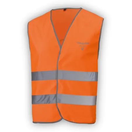
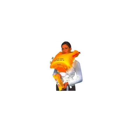
- Life jackets
- Life raft
- Distress flare
- PAX instructions
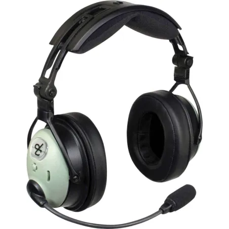
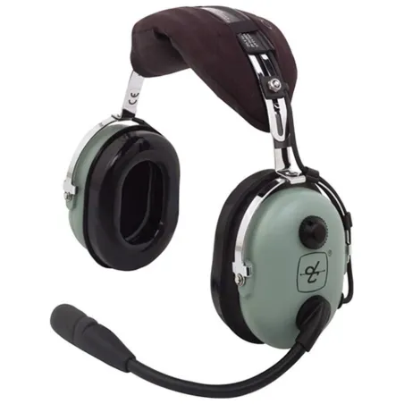
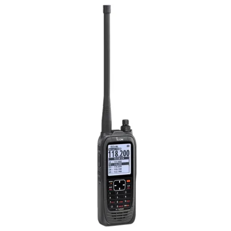
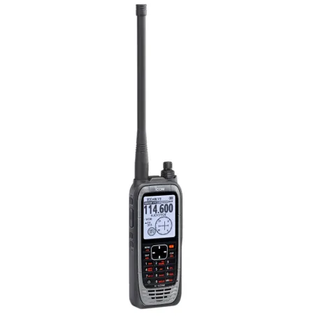
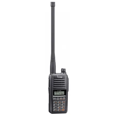
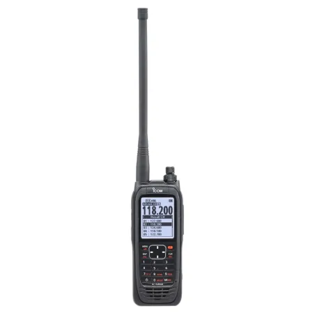
- Backup radio
In light aviation, some equipment is always required: ELT, first aid kit, fire extinguisher, passenger safety instructions. Others are mission-dependent, like life jackets, raft, flares, or backup radio, typically for water or isolated areas.
Your radio may fail, so identify an airfield or club where you can land without radio. Near Clermont-Ferrand, Ambert is one such field. You can also find eco-class zones to reach the field safely.
Weather call – ATIS sheet
The last point is the ATIS sheet (Automatic Terminal Information Service), continuously broadcast via dedicated frequency or phone, providing weather (wind, temperature, cloud cover, dew point
Share this content
Please log in to rate this article