


How to prepare for a VFR flight?
Categories :
BAYO
New season, new releases, new aeronautical charts... It’s time to take to the skies and have some fun. After a check flight and a few local flights, the big open skies are yours! Oh, hold on, not so fast... Just because you're flying during the day doesn't mean you should rush off with your hand on the yoke. Have you properly prepared your flight? We know you're trained and experienced pilots, but still: although it’s not the most exciting part of VFR navigation, it’s a crucial one. Let’s check if you really master VFR flight preparation – in other words, flying under visual flight rules.
I Establish My VFR Navigation Route
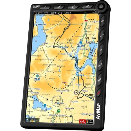
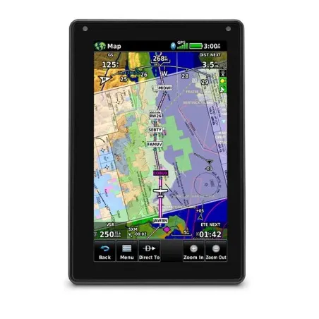
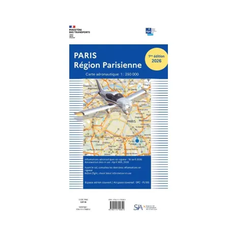
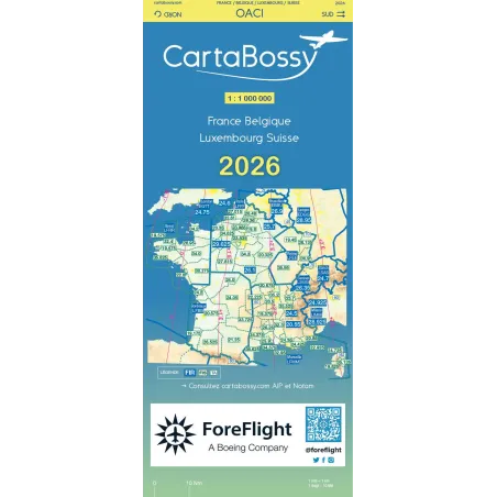
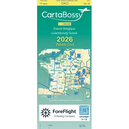
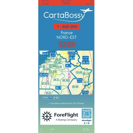
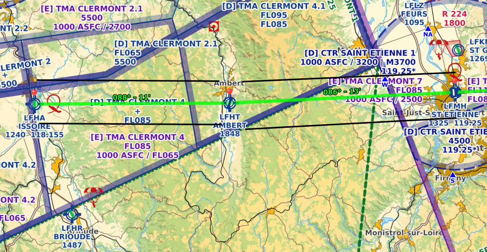
The first part of your preparation involves setting up a route. Your main tool for doing this will be the use of different aeronautical charts. Depending on your route, distance, and the region where you want to fly, you will choose the chart that best suits your scale: SIA 1/1,000,000, 1/500,000 IGN, or SIA 1/250,000.
Although the 1/1,000,000 chart is the only one required onboard, the 1/500,000 chart is more commonly used. It is more readable and better suited for VFR flights. Equip yourself with a thick pencil, an eraser, and a ruler so that you can erase the route once completed and reuse the chart for your next navigation!
It may be obvious, but the first thing to do when preparing your flight is to define the starting and ending points. If you're not an experienced pilot and don't have any specific constraints, it's better to choose a small aerodrome over a big airport with complex procedures and heavier traffic.
Step 1: Straight-Line Navigation
You should end up with a straight line drawn between these two points on your aeronautical chart. However, since you will be navigating visually, you will need to use landmarks to avoid drifting too far from your destination and to always be able to communicate your position to air traffic control.
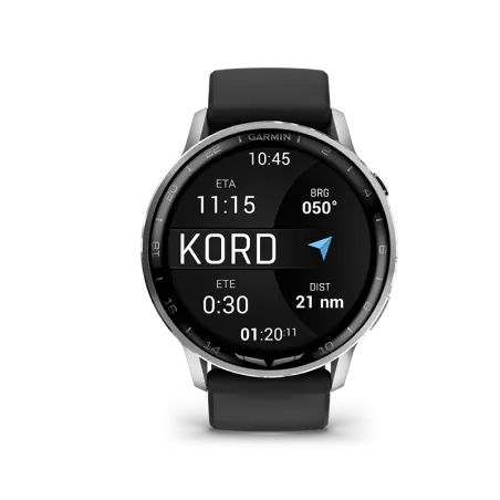
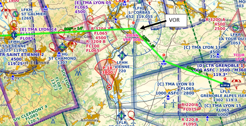 You will select them on the chart, at regular intervals and frequently enough (no more than 30 minutes of flight), easily identifiable in the landscape you're flying over: bridges, towns, aerodromes, wind turbines... If possible, use landmarks such as aerodromes/airports or radio navigation aids (VOR, ADF, NDB). This will make life easier for air traffic control and help you develop good habits for flight plans you may need to submit in your future flights (e.g., if you're flying to Corsica!).
Draw straight lines on the chart between them to form flight segments: these will be the landmarks of your route.
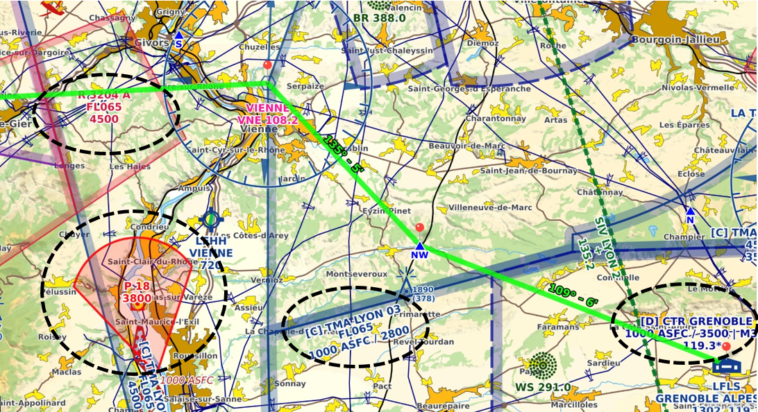
Finally, your flight may require various detours. You will need to account for controlled airspace or restricted, dangerous, or prohibited areas, minimum heights for overflying isolated obstacles or built-up areas.
Tip
If your route crosses Class C airspace, plan a backup route in advance, with a different altitude or detour. It is very common for air traffic control to deny access to VFR flights in this space, especially if your voice is hesitant... Controllers often have a lot of work to do and will avoid adding more. Therefore, it’s better to anticipate a secondary route.
A backup plan may be necessary for other reasons (see the next step).
I Account for Variables
 Once your route is set, the preparation is not over. While the chart provides information about the immovable parts of your route, you must also consider the variables, unexpected events, and potential disruptions.
Don’t start filling in your NAVLOG without first checking the following points, or you might have to start all over! This has happened at least once to every pilot! Among the variables, you will need to consider the schedule of restrictions in any special-status zones you might have to cross. Will I be able to cross this regulated area on the day of my flight? To answer this, make sure to consult the valuable supplements to the charts for the current edition.
Messages to pilots or NOTAMs should also be considered: they will alert you to obstacles or temporary changes, such as construction at an aerodrome, refueling issues, a construction crane, airspace restrictions, etc...
The other important variable is, of course, the weather. Visual flight assumes good visibility conditions.
Moreover, temperature and atmospheric pressure conditions will affect your aircraft’s performance in flight, as well as takeoff and landing distances.
Wind is also a key element for your flight, even before takeoff. Its strength and direction will greatly affect your trajectory, flight time, and the maneuverability of your aircraft. This is why it is crucial to know the forecast as accurately as possible.
You have many tools to obtain forecasts, starting with the Aeroweb site developed by Météo France specifically for pilots. It gathers various useful sources and information: not only wind and temperature forecasts, but also TEMSI charts, METAR (current weather reports updated every 30 minutes), and TAF (short- or long-term forecasts) specific to each airport, and SIGMET messages describing significant weather phenomena (air mass movements, turbulence, storms, cyclones…).
Fortunately, weather, although it can surprise us, is quite predictable these days. But there are also flight parameters that we can’t really predict but can still anticipate. This is why your VFR flight preparation will also include the possibility of a diversion: it's the aviation version of a plan B.
An unexpected weather event, a minor malfunction of your aircraft, a sick passenger, or a problem at your arrival aerodrome... All of these surprises could lead you to decide to land somewhere other than your original destination. This will go smoothly if you've planned for this (or these) alternative route(s). The more elements you brief before the flight, the easier the diversion will be. Don’t forget that the human brain isn’t built for multitasking. Handling 2-3 tasks at once is already difficult...
Your flight preparation should also include identifying the same data for your alternative route, noting it on a separate page from your NAVLOG.
Calculations and Data for My NAVLOG
For each segment, you will determine the heading to follow as well as the flight distance using a rule and a protractor, or even better: a flight rule with protractor. From there, calculate the flight time per segment and the total flight time (taking the wind into account!).
 All this data will be transferred to the flight log, or NAVLOG as it is called in aviation lingo: the document that lists all your waypoints, with times and distances for each segment of the route to follow.
Another important piece of data is your flight altitude (or flight level). You will need to know the rules to follow in the areas you will cross, as well as the minimum altitude for overflying certain obstacles. You will also check the altitude of the departure and arrival aerodrome circuits, which is important for the takeoff and landing phases.
As the saying goes, Fly, Navigate, Communicate!
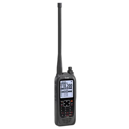
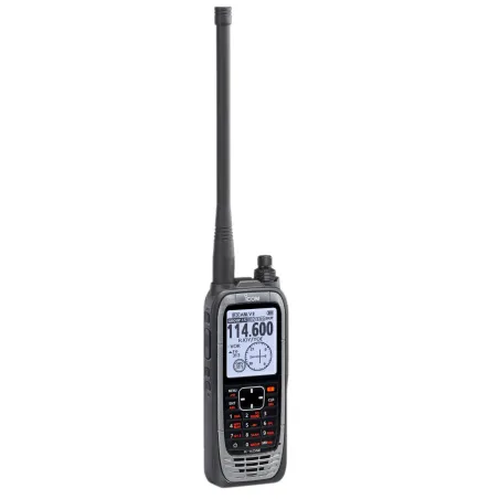
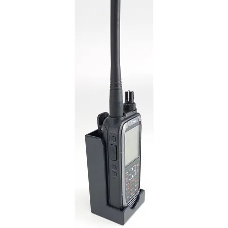
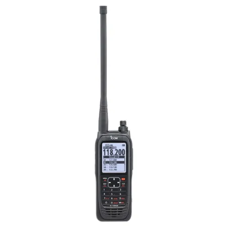
So now you just need to communicate. Anticipate the different frequencies to use (controlled airspace, SIV, RMZ, CTR, auto-information on uncontrolled fields, etc...) by writing them down in your NAVLOG.
And if you need to refresh your memory on how to read your charts, we remind you of the basic rules for reading an aeronautical chart.
What Do I Bring for My VFR Navigation?
If your flight involves passengers or luggage, you will also need to calculate the mass and balance of your aircraft, following the manufacturer's recommendations (weight sheet).
Among the elements that are far from trivial, you will also need to calculate the fuel required to reach your destination. It may seem obvious, but although rare, fuel failures are the leading cause of light aviation accidents. So it's important to calculate your needs, remembering to include a reserve for the route and/or diversion in case of a missed landing, a diversion, or any other unforeseen event. Finally, don't forget the mandatory final reserve (
Share this content
Add a comment