


Digital vs Paper Aeronautical Charts: The Duel of Modern Navigators
Categories :
Aeronautical navigation chart
Digital vs Paper Aeronautical Charts: The Duel of Modern Navigators
In the cockpit of a light aircraft as well as in that of a state-of-the-art airliner, a paradigm shift is underway. Where once proudly stood paper aeronautical charts, carefully folded and annotated by hand, tablets now dominate — equipped with smart apps, integrated GPS, and real-time updates. This evolution, driven by the rise of connected aviation and the growing accessibility of digital tools, raises a fundamental question: is it time to permanently turn the page on paper?
Because behind the apparent convenience of digital lie technical and regulatory constraints. On the other hand, paper charts, sometimes seen as outdated, continue to appeal thanks to their reliability, total autonomy, and undeniable educational value, especially for student pilots. The choice between the two formats goes beyond personal preference: it touches on safety, flight efficiency, and compliance with current regulations.
Between tradition and innovation, between the tactile robustness of a tried-and-true medium and the dynamic power of smart displays, pilots — whether professionals or enthusiasts — must make an informed choice. So, what are the strengths and limitations of each of these navigation tools? Let’s break down the stakes in this duel between paper and digital, which is gradually reshaping the landscape of air navigation.
Paper Charts: A Tradition Still Firmly Rooted in the Skies
Long before tablets and navigation apps came on the scene, paper aeronautical charts were — and still remain — essential flight companions for generations of pilots. Often overly folded, scribbled with pen, or covered in sweaty fingerprints, these charts speak of another era: one where routes were plotted with CRAS rulers and compasses, relying solely on landscape reading and methodical precision.
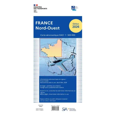
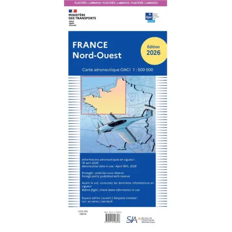
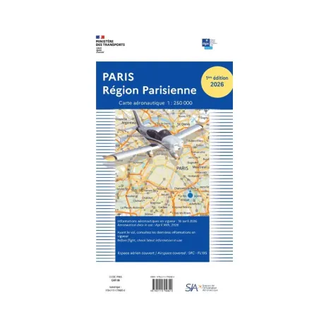
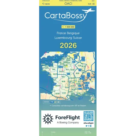
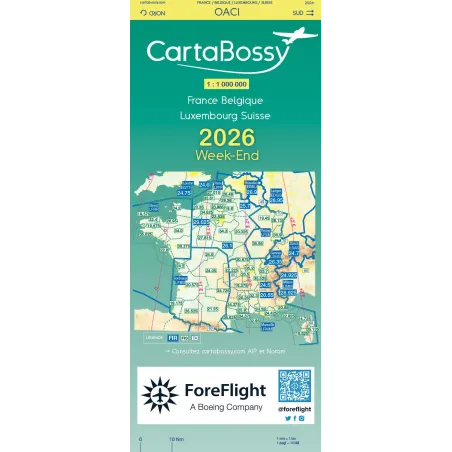
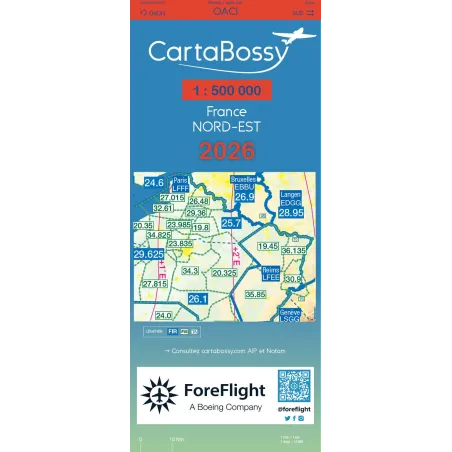
Even today, they maintain a prominent place in pilot flight bags, especially during training or VFR (Visual Flight Rules) flights. OACI charts at 1:500,000 scale, published by the French National Institute of Geographic and Forest Information (IGN) in partnership with the Aeronautical Information Service (SIA), remain the official references in France. Their large format provides an exceptional overview of the terrain, allowing pilots to anticipate relief, identify regulated zones, and plan navigation in accordance with regulations. You can also find Air Million charts that cover Western Europe at a 1:1,000,000 scale, and Cartabossy maps for family flights across French regions.
Their key strength? Absolute autonomy. No risk of battery failure or frozen screens — paper always works, regardless of conditions. This technological independence makes them a valuable ally in emergencies or degraded environments. They are also recognized by authorities, which ensures their validity during inspections or regulatory audits.
But despite their resilience, these charts also have downsides. Updating them is tedious: every airspace change requires purchasing a new edition, or at best, manually highlighting updates. And in a cramped cockpit, handling several bulky sheets — often awkwardly folded — can quickly become a juggling act. Add to that a recurring cost, since staying compliant requires regular chart updates, a burden for both private pilots and flight schools.
Digital Charts: A Revolution at Your Fingertips
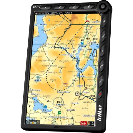
Digital OACI VFR charts from IGN, compatible with popular navigation software like SkyDemon, ForeFlight, Garmin Pilot, and AirMate, offer an unmatched level of interactivity. (See the article – Top 5 Navigation Apps for Pilots). With a simple swipe, the pilot accesses a detailed view of their route, can zoom in on specific areas, overlay information layers (airspace, weather, NOTAMs...), and follow real-time progress thanks to GPS integration.
One of the most striking advantages of digital charts is their automatic updates. No need to worry about airspace changes or new editions: within seconds, the data is refreshed, ensuring navigation is up-to-date and compliant. This is not only time-saving but also a safety boost.
Another major advantage: compactness. A single tablet can store an entire binder’s worth of charts, covering all of Europe and beyond — all in a lightweight, easy-to-handle format, ideal for modern cockpits. It's a luxury of ergonomics, especially during long or complex flights.
A standout feature of digital charts is their interactivity. By tapping on an airfield, pilots can instantly access detailed information: radio frequencies, altitudes, available runways, services offered, and more. Likewise, tapping on a segment of their route provides specific data like distance, heading, estimated flight time, or airspace zones to cross. This level of interaction offers flexibility and efficiency that paper simply can't match.
But like all tech solutions, digital tools have vulnerabilities. They depend on electricity: a dead battery, cracked screen, or faulty app can suddenly leave the pilot without a reliable navigation tool. That’s why most flight schools and instructors still recommend carrying at least one paper chart as backup. Also, the initial investment can deter some pilots — between buying a rugged tablet, chart subscriptions, and pro apps, the bill can add up quickly. For technical formats like IGN’s ECW charts, specific software is required, making them less intuitive for non-experts.
Comparison: Paper Charts vs Digital Charts
Here's a comparison table summarizing the pros and cons of paper vs digital aeronautical charts:
| Criteria | Paper Charts | Digital Charts |
|---|---|---|
| Autonomy | Complete, energy-independent | Depends on device battery |
| Updates | Manual, requires new editions | Automatic, real-time |
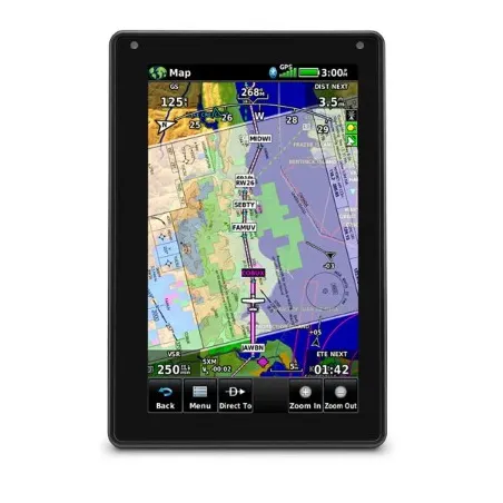
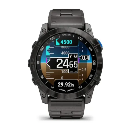
| Readability | Excellent, clear overview | Varies with screen size Visible in sunlight on devices like the Aera 660 or Aera 760 |
| Features | Limited to printed info | Advanced: zoom, GPS, overlays, interactivity |
| Bulk | Bulky, especially with many charts | Compact, all-in-one device |
| Cost | Recurring, new editions required | High initial, often includes updates |
| Regulatory Compatibility | Officially recognized by authorities | Varies depending on software and formats |
Towards Hybrid, Intelligent and Controlled Navigation
Ultimately, it’s less about choosing between past and future, and more about understanding the strengths and limitations of each format. The decision between paper and digital charts is not black and white — it’s contextual, nuanced, and often personal. Every pilot, based on their experience, type of flight, equipment, and even sensory preferences, will find solid reasons for choosing one format over the other.
For local flights, training sessions, or learning exercises, paper charts retain undeniable advantages: they promote precision, landscape reading, and serve as an irreplaceable educational tool. They also offer peace of mind through their reliability and total independence from onboard electronics.
Conversely, in more demanding scenarios — long-distance flights, complex zone crossings, international routes, or changing weather — digital charts come into their own. They deliver accuracy, flexibility, and functionality that paper simply can’t match. The interactivity, in particular, allows pilots to instantly access detailed information with just a tap.
However, this sophistication comes at a cost. Unlike paper charts, which are relatively inexpensive (about €20 for a 1:500,000 OACI chart), digital charts often require an annual subscription. These vary depending on the platform:
- SkyDemon, favored by many European pilots, offers a subscription around €150/year, including updates and access to VFR charts for multiple countries.
- ForeFlight, more oriented toward professional or IFR aviation, has plans from €100 to over €300/year depending on features (dynamic charts, weather, global database).
- IGN digital charts (ECW format) are available for about €60 for all of France, but require compatible software like SeeYou, LK8000, or EasyVFR.
While costly, these subscriptions are investments in safety, precision, and streamlined flight preparation and execution. They support a logic of ongoing technical and operational optimization.
Thus, the most sensible solution often remains the hybrid approach: combining the timeless reliability of paper with the power of digital, for safe, flexible, and thoughtful navigation. A philosophy that perfectly embodies the spirit of the good pilot: modern, but always ready to return to the basics.
Note that 2025 aeronautical charts are now available for purchase in our online store.
Share this content
Add a comment