


Which aeronautical chart to choose?
Categories :
Aeronautical navigation chart
, BAYO
The Basic Concepts
VFR charts are essential tools for pilots who wish to perform visual flight. Before diving into a detailed discussion about preparing VFR flights, it is crucial to understand the diversity of VFR charts and know how to equip yourself accordingly.
Scale
The main distinctions between charts lie in their scales, which determine their level of precision.
The scale is defined as the ratio between a distance measured on the chart and the same distance in reality on Earth.
In VFR aviation, three main scales are commonly used: 1/1,000,000 (read one millionth), where 1 cm equals 10 km; 1/500,000 (read five hundred thousandth), where 1 cm equals 5 km; and 1/250,000, where 1 cm equals 2.5 km.
It goes without saying that the smaller the scale, the greater the precision of the chart. Thus, the 1/250,000 chart offers more precision than the millionth chart.
The question to ask yourself: What level of precision do I need?
Geographic Coverage
The second distinction between these charts lies in their geographic coverage. Logically, each chart covers a different geographical area, varying in size.
In addition to the horizontal sector, the vertical sector should also be considered, as aviation involves both horizontal and vertical movement.
The question to ask yourself: Will I fly within a restricted geographic area (region), cross my country, or go international (abroad)?
Usage Range
Finally, VFR charts also differ in their range of use.
Some charts are adapted for specific use, such as weekend flights, due to the fluctuation of airspace on different days of the week.
The question to ask yourself: Am I more used to flying during the week, on weekends, or a mix of both?
The 1/1,000,000 Charts
Let’s start with the SIA (Aeronautical Information Service) charts at one millionth, which divide France into two sectors: north and south. They cover the surface, that is, the ground, up to flight level 195 (FL195), which is the maximum flight level in VFR.
These charts have the advantage of indicating radionavigation points, airways, and transition altitudes for shifting from QNH (value used for setting the altimeter to flight altitude) to 1013 (QNE: standard atmospheric pressure).
They are generally used for getting an overview during flight planning or for high-altitude flights. However, they may lack precision for locating ground points such as small towns or bodies of water.
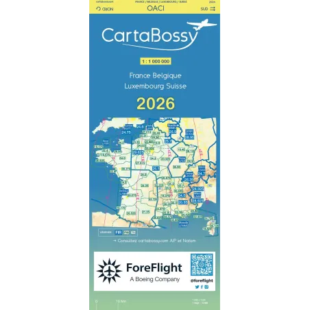
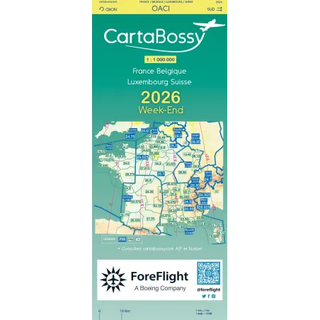
Among the millionth charts, there are two others. The CartaBossy is available in VFR day and VFR weekend versions and also covers the range from the surface up to FL195.
The Air Million chart also works in VFR day and VFR weekend and covers the same vertical range. These two models are simplified compared to the SIA chart, and therefore may be more suited for VFR navigation. However, it’s through experience that you’ll determine your preference.
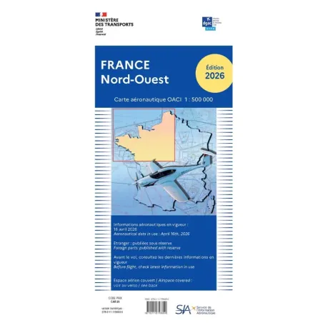
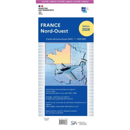
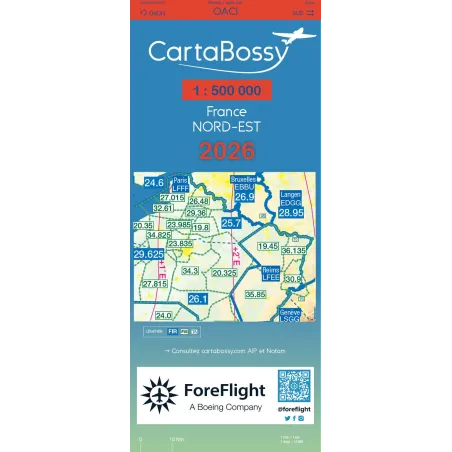
The 1/500,000 Charts
Next, we have the IGN (National Geographic Institute) charts at 1/500,000 scale. They divide France into four sectors: northwest, northeast, southeast, and southwest. They are available in laminated or non-laminated versions.
These charts cover the surface up to flight level 115 (FL115), which is already considerable for VFR, especially due to hypoxia risks and the requirement to carry oxygen if flying in a non-pressurized aircraft.
They are particularly useful in VFR and are often the most used because they offer much better precision than the one millionth charts and provide greater comprehensiveness for locating ground navigation points.
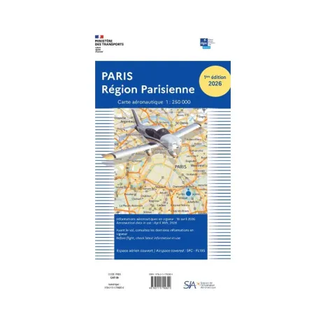
The 1/250,000 Charts
Finally, we have the SIA 1/250,000 charts, known for their great precision.
They are specifically used in dense airspace and high-traffic areas, such as Lyon Vallée du Rhône, Toulouse Occitanie, Strasbourg Alsace Lorraine, the Paris Region, Marseille Delta du Rhône, and Nice Côte d'Azur.
These charts also include versions dedicated to overseas departments and territories, as well as specialized charts for helicopter traffic or gliding.
Which Aeronautical Chart to Use for Flying Abroad?
The same applies in other countries. They naturally have their own dedicated charts.
Air Million also offers 1/1,000,000 charts for France: Belgium Luxembourg Switzerland (the same chart is available for weekends), Morocco: Canary Islands, Italy: Bosnia Croatia Malta Montenegro and Slovenia, United Kingdom: Ireland Benelux, Iberia: Spain Portugal, Central Europe: Germany Czech Republic Netherlands Eastern Poland, Eastern Europe: Bosnia Bulgaria Hungary Moldova Romania Serbia Slovakia.
Additionally, Air Million has 1/500,000 charts for Alps: Switzerland Northern Italy and Western Austria, Southern England and Wales, Northern Greece, and Southern Greece.
Finally, 1/250,000 charts are available for Belgium: Luxembourg and South Netherlands, and for Caribbean: French Antilles.
Chart Supplements
In addition to these charts, you will need the supplement to aeronautical charts from SIA, which lists specific areas such as Romeo zones, danger zones, and aerobatic zones, defining their restrictions and usage conditions. This supplement also provides sunrise and sunset times, making it an extremely useful annex for flight planning.
Regulations
Among the minimum equipment you must carry with you, a valid chart is mandatory. This means it must be up-to-date (and changed every year).
For this year, 2024, the new charts will be available in April!
Updating your charts may incur some cost, but it is unnecessary to specify that you are not required to own all the charts available on the market!
Please also note that SIA charts are available for free in digital form on their website.
To navigate in VFR, you will also need VAC charts, which are approach charts specific to each aerodrome. They provide all the essential information about the aerodrome and the runway circuit. Ensure that your VAC charts are up-to-date, they are also available for free on the SIA website.
It is important to always have with you the VAC chart for your departure aerodrome, as well as for your arrival aerodrome and possibly for any other aerodromes where you may need to divert your flight. Be attentive when purchasing these charts, as they are available in either IFR (Instrument Flight Rules) or VFR (Visual Flight Rules) versions.
Share this content
Add a comment